I grew up in Wayanad believing its mountains would always be there. They surrounded our villages and caught the first monsoon clouds that came in from the Arabian Sea. The mountains fed the streams and rivers that irrigated farms. To me, they were a sign of the landscape’s prosperity, but heavy rain now carries a different meaning for many people in Wayanad.
The monsoon still supports agriculture and keeps the forests vibrant, but it also brings memories of landslides, rescue operations, lives lost and upended. In recent years, disasters linked to extreme rainfall have become all too familiar. This has rightly prompted difficult questions about how we should build and plan infrastructure in one of India’s most ecologically significant mountain regions.
For many readers outside Kerala, Kalladi is probably only the latest village to appear in the news. It is located near Meppadi in Wayanad district in the Western Ghats, a mountain range stretching over 1,600 kilometres across six states. The Ghats are older than the Himalayas and are recognised globally as one of eight global biodiversity hotspots. They regulate rainfall, recharge groundwater, and are also the place from where many of peninsular India’s major rivers originate. The Ghats play a function that is vital for mountain communities and for millions living downstream.
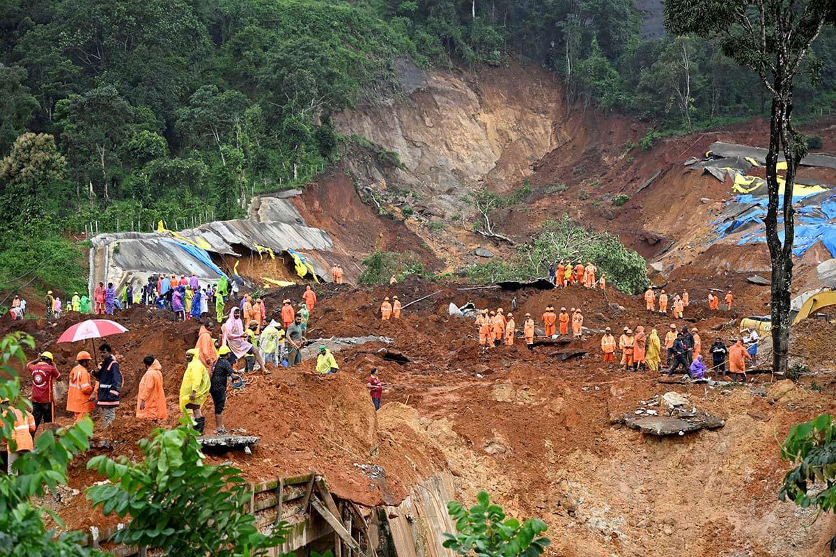
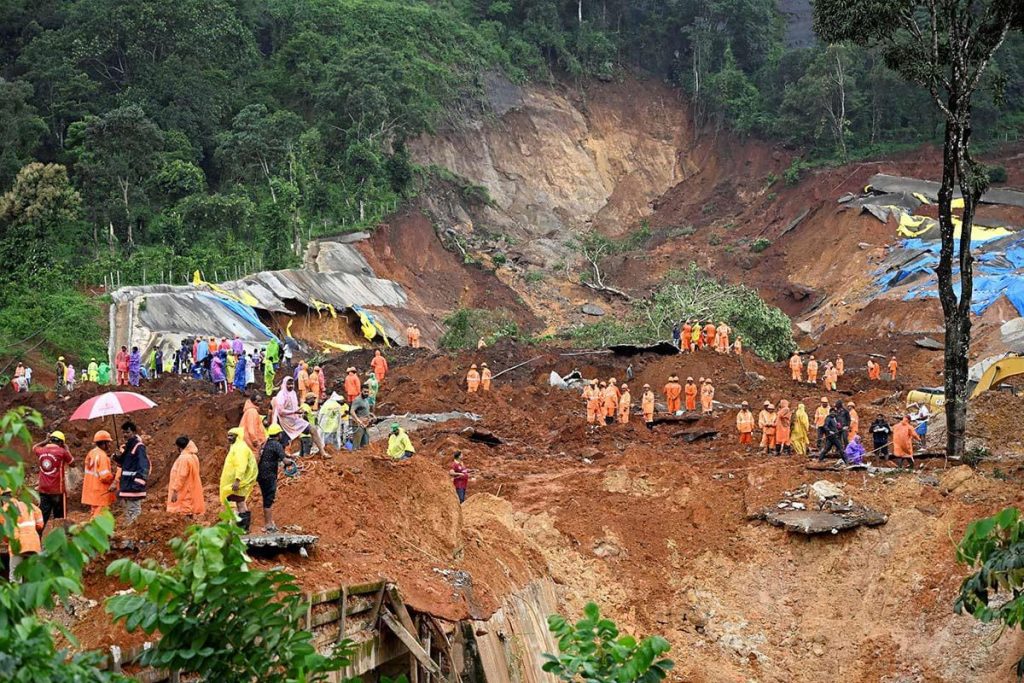
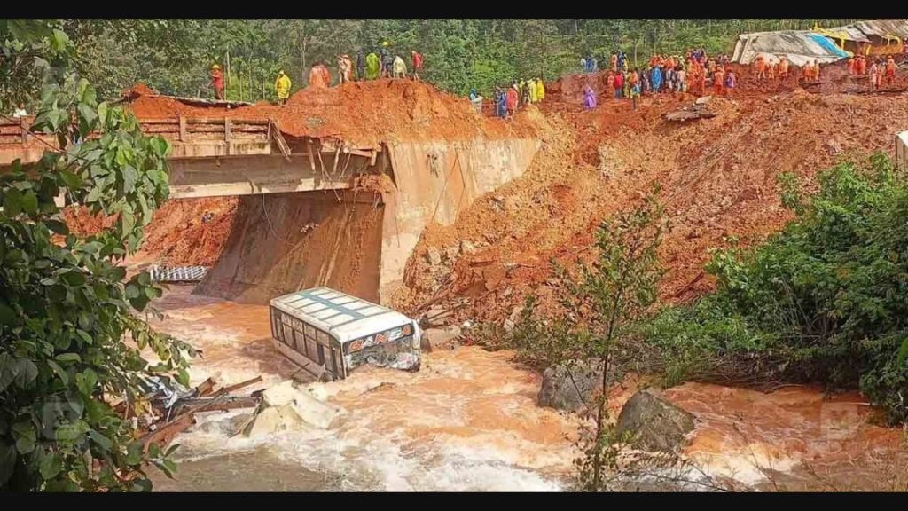
The July 7 landslide near the Anakkampoyil-Kalladi-Meppadi twin tunnel project has once again drawn national attention to this landscape. It is a major infrastructure project to improve connectivity between Kozhikode and Wayanad. The tunnel promised shorter travel times, safer access and economic opportunities. After intense rainfall earlier this month, part of the slope near the tunnel portal gave way, claiming eight construction workers’ lives. For those of us who have reported on Wayanad for many years, the accident brings to mind a broader set of questions: How, if at all, should large infrastructure projects be planned in ecologically sensitive areas?
As someone who has spent more than two decades reporting from Kerala’s hill districts, I have learnt that disasters don’t arrive without warning. In many cases they are in fact preceded by scientific studies and environment impact assessments. Long before construction of the Kalladi tunnel began, geologists, environmental researchers and residents had asked whether a project of this scale was suited to one of the most landslide-prone stretches of the Western Ghats. They were not opposing better roads and connectivity, but were trying to understand how large infrastructure projects interact with mountain systems that are under immense climatic stress.
The questions have become sharper in the aftermath of the landslide. Publicly available documents from the environmental clearance process indicate that the project alignment was described as not passing through a landslide-prone area. At the same time, the appraisal process recognised the ecological sensitivity of the landscape and prescribed safeguards relating to excavation, slope stability and the disposal of excavated material. Understanding how these assessments were made, and whether they adequately reflected the terrain’s known vulnerabilities, is now an important public question.
That is why the conversation should not end with whether construction practices at the site were adequate. We should also ask: how routes are selected, how geological risks are assessed, what evidence informs environmental clearances. As rainfall patterns become more erratic, relying only on baseline historical data may no longer be enough. Planning needs to account for how climate change is altering the behaviour of previously stable landscapes.
Kalladi also needs to be viewed in the wider context of Wayanad’s recent history. The tunnel site lies close to Chooralmala and Mundakkai, where devastating landslides in 2024 claimed hundreds of lives. Before that came disasters at Puthumala, Pettimudi and elsewhere across the Western Ghats. Scientific studies have shown that while Kerala is witnessing fewer rainy days overall, rainfall is becoming more intense over shorter periods, increasing the likelihood of flash floods and landslides.
Then there’s the overarching question of what development means for districts like Wayanad. Better connectivity is a legitimate aspiration that can improve access to education, healthcare, markets and employment. But conversations about development should consider everyday challenges that residents identify as equally urgent: declining farm incomes, recurring human-wildlife conflict, limited public transport, gaps in healthcare etc. The framing should not be one of “development vs conservation”, which centres on large, visible projects. Instead, we should look at development as that which responds to the realities of the landscape.
This also requires creating space for disagreement. Environmental assessments, scientific evidence and local knowledge can be used most effectively when they are treated as part of decision-making rather than as obstacles to it. Regions such as the Western Ghats demand a more nuanced conversation so that the infrastructure we build is safer.
For me, Wayanad remains the place where I first learnt to read a landscape through its seasons. I hope future generations inherit mountains that continue to sustain lives and livelihoods rather than becoming known for recurring disasters.
K. A. Shaji is an environmental communications consultant with Asar and a South India-based journalist. A native of Kerala’s Wayanad district, he has extensively chronicled rural distress, caste and tribal realities, environmental conflicts, and the fault lines of development, connecting local struggles to broader national and global questions of justice, equity, and survival.
DISCLAIMER: The views and opinions expressed in this article are those of the author and do not necessarily reflect the views or positions of Asar or its employees. Asar publishes contributions from partners and members of its wider network to encourage informed dialogue on issues related to climate, environment, and development.